Current Weather Warnings
Loading...
Please wait.
Special Weather Tips
Loading...

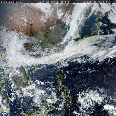
Satellite Image
Local Weather Forecast
Loading...
Please wait.
Hong Kong Airport Weather Forecast (TAF)
Loading...
Data ranage:
Minimum: -
Maximum: -
Prevailing wind direction: -
| Code | Station Name | Selected Element Value ↕ |
|---|
9-Day Forecast
Loading...
© 1995-2026 Weather Underground of Hong Kong. Special thanks to the Hong Kong Observatory for permission to reproduce weather information and forecast.